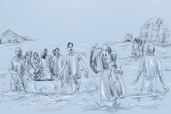
Caught in a flood

Illustration: Sreejith R. Kumar
Every year, Kerala looks forward to the Southwest monsoon. It brings with it hope of relief from the relentless heat of summer, rain that moistens the earth readying it for cultivation and thus ensuring a good harvest and also replenishing the water table. However, this year, the monsoon was more than liberal. Excessive rain caused flooding, untold misery and loss. Almost all 14 districts of the state were placed on high alert. The state has had a similar experience nearly a century ago.
For the first time in the history of Kerala, 35 of the 42 dams in the state were opened. For the first time in 26 years, all five overflow gates of the Idukki Dam were opened.
Given the situation, let’s take a look at the state and its connection to water. First is its position, lying as it does between the Lakshadweep Sea and the Western Ghats. Despite its narrow width, the state can be divided into high mountains, lowlands and the coastal plains. The last is covered by a network of canals, lakes, estuaries and rivers. The largest lake is Vembanad, which lies between Alappuzha and Kochi. The state has 44 rivers, of which 41 originate in the Western Ghats. These comprise around eight per cent of India’s waterways. Among the well-known ones are the Periyar, the Bharathapuzha, the Pamba, and the Chalakudy.
Check out these rivers and get to know them better.