Maps, up close!
- POSTED ON: 11 Jan, 2022
- TOTAL VIEWS: 318 Views
- POSTED BY: Young World Club
- ARTICLE POINTS: 150 Points
We view photos and images from various distances and angles – through satellites, maps, drones, illustrations and sometimes up close. Here are a few images which have 2 perspectives – one up close, and one from far up in the sky. Move the slider from right to left to look at the bigger picture!
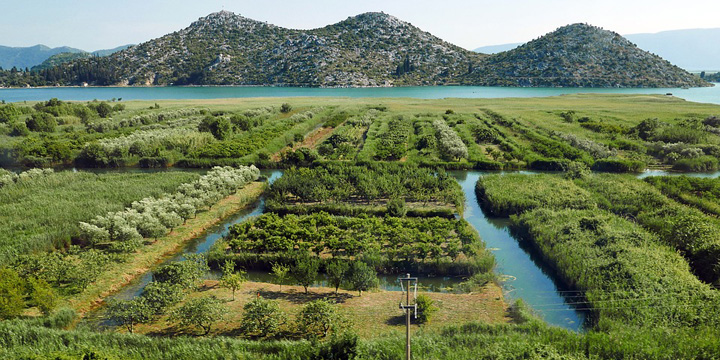
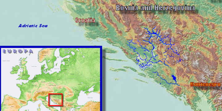
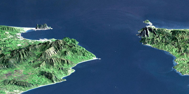
1. Let’s start with an ‘estuary’ of the Neretva river which flows through Bosnia & Herzegovina and Croatia. Do you know what an estuary is? It is a place where the river joins the sea…
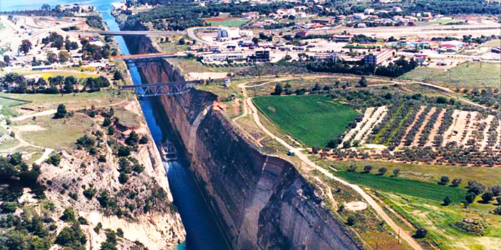
2. An isthmus on the other hand is a narrow strip of land connecting two large land masses. More often than not, we create canals to connect the two separated water bodies as well. A famous one is the Corinthian isthmus!
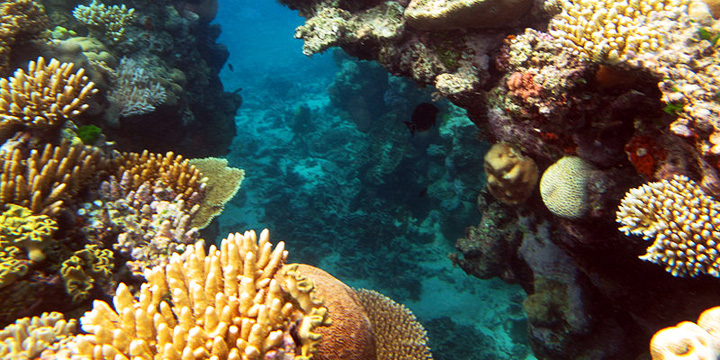
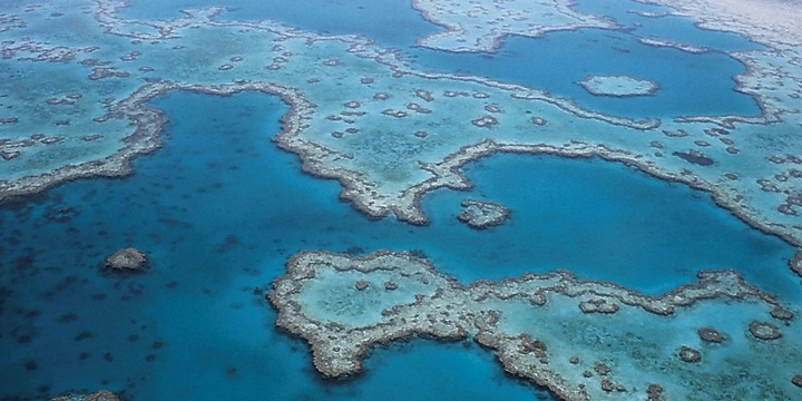
3. We all know coral reefs. This famous one needs no identification as it can be seen from the sky!
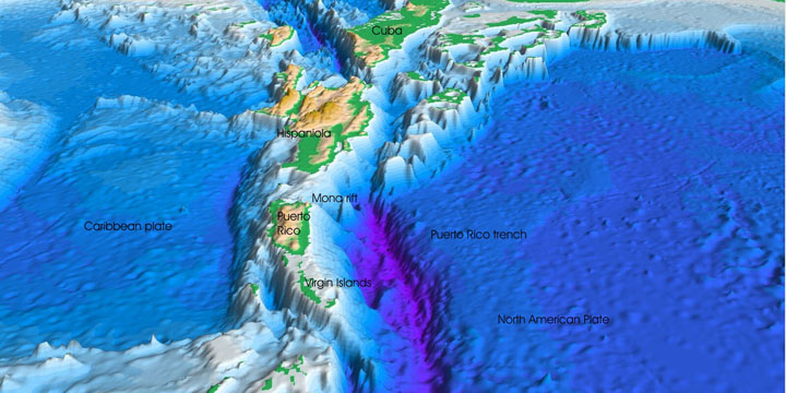
4. Some of the deepest points in the ocean are the trenches. You might have heard about the Mariana Trench. Here’s a perspective of the Atlantic Trench!
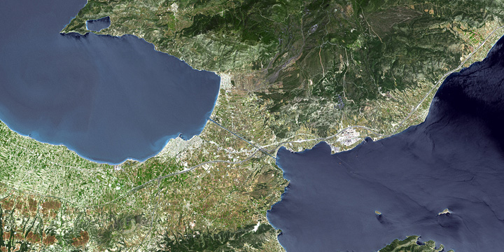
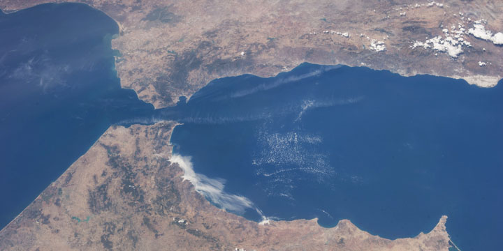
5. Last but not the least, is a strait – a narrow passage of water which connects two larger water bodies. A famous one is the Palk Strait between India and Sri Lanka. Shown here is the Strait of Gibraltar – do you know where it is located?
Hope you enjoyed the view! Next time you visit a beautiful location, make sure you have a look at it on the map as well!